

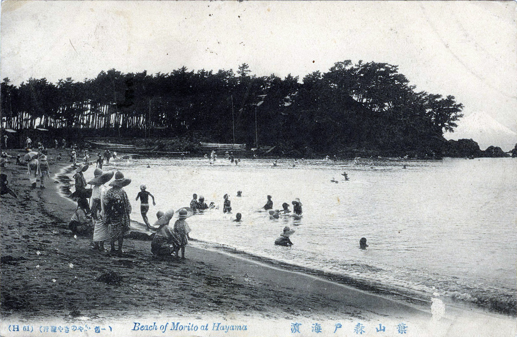
“Beach of Morito at Hayama”, c. 1910.
“The line that turns S. from the Ofuna Station on the Tokaido Main Line is called the Yokosuka Line; it terminates at Yokosuka (10 m.) via Kamakura, Zushi, and Taura. It has en route the historic town of Kamakura, a site of the old military regency, Zushi and Hayama, famed for fine sea-scenes, and Yokosuka with its admiralty port.”
– An Official Guide to Eastern Asia, Vol. III: North-Eastern Japan, The Japanese Imperial Government Railways, 1914
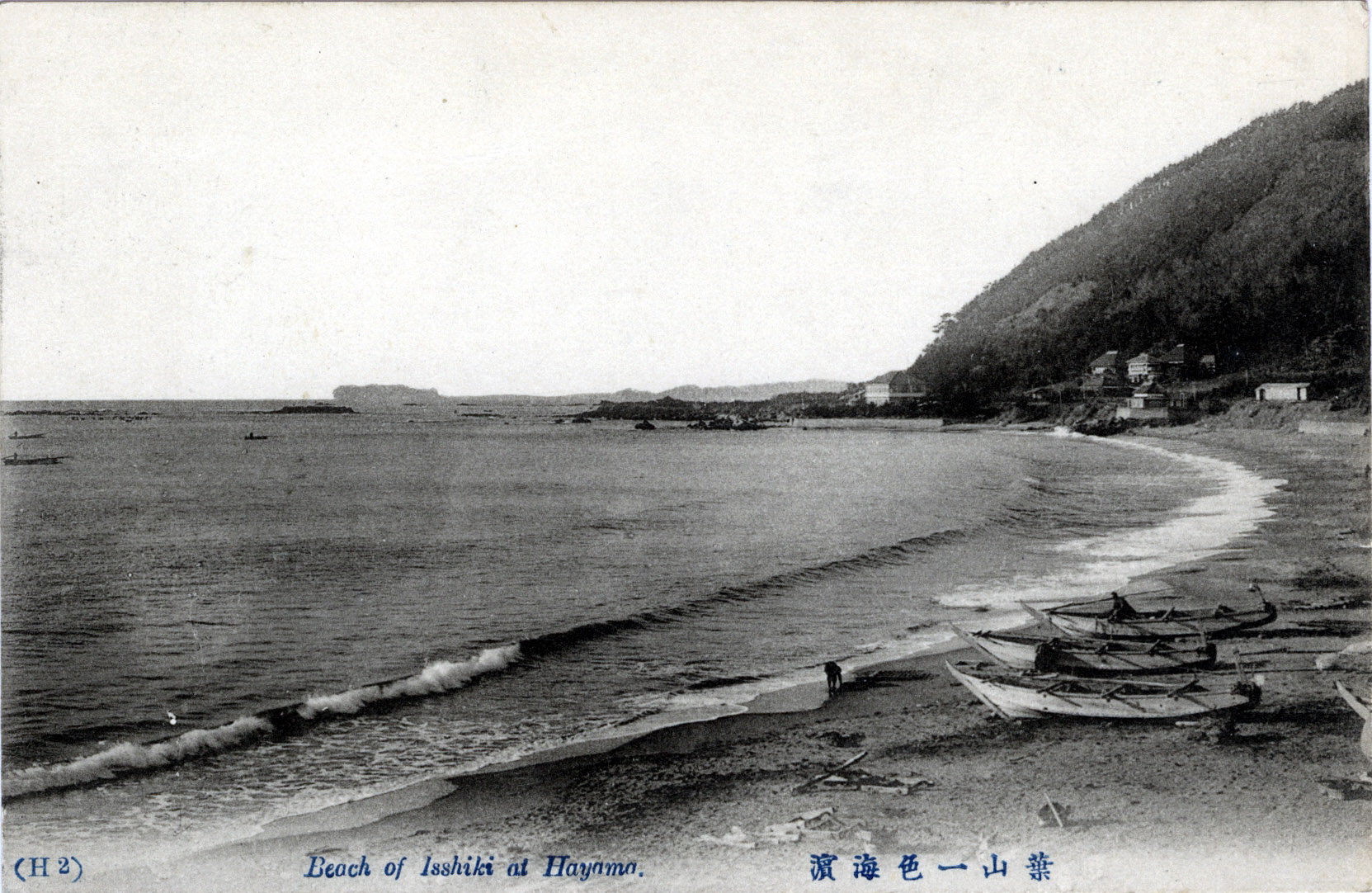
“Beach of Isshiki at Hayama”, c. 1920. In the distance can be seen Enoshima. Hayama is located at the northernwestern end of Miura Peninsula, facing Sagami Bay on the Pacific Ocean.
See also:
Enoshima, c. 1910-1960
“Dzushi [Zushi], on the railway, 2-1/2 miles to the S. E. of Kamakura, is the station for Horiuchi, or Hayama, as it is now more commonly called, 1-1/2 m. distant, which has lately risen into favour as a sea-side resort, some of the wealthier residents of Tokyo and Yokohama having built villas there.
“A good road connects Dzushi and Hayama, which latter place commands the lovely view of Mt. Fuji, which seems to rise straight from the waters of Odawara Bay, forming the central feature of the scene. The Crown Prince has a winter residence close by.
“Beyond Hayama the road leaves the shore and, crossing the Nagoi no Saka (a steep hill), reaches Kamakura.”
– A Handbook for Travellers in Japan, by Basil Hall Chamberlain & W.B. Mason, 1901
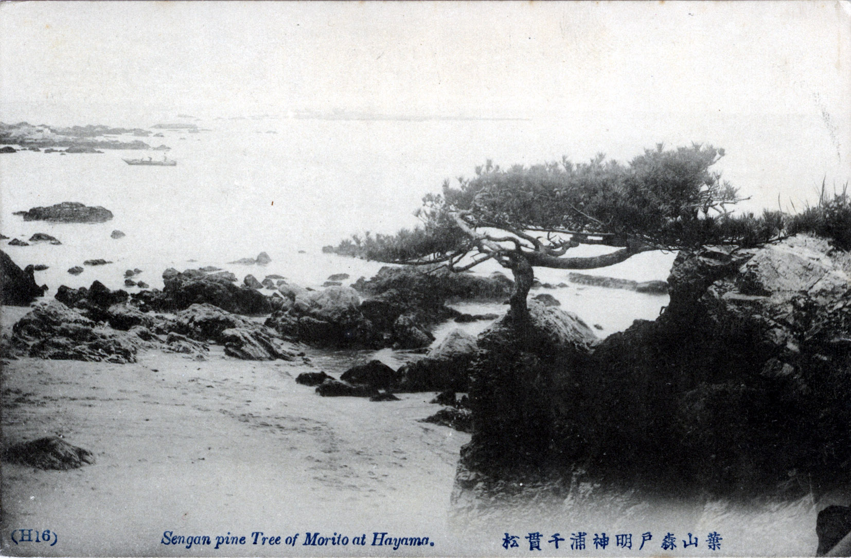
“Sengan [sic] pine tree of Morito at Hayama”, c. 1920.
“Hayama, 3.7 m. S. of Zushi, projects further into the bay and commands a better view of Enoshima and Mt. Fuji than does Zushi. Many noted persons have estates in the vicinity. At Ohojagasaki, a pine-clad point to the S., there are good bathing accommodations at a Japanese inn.”
– Japan: The Official Guide, Japan Government Railways, 1941
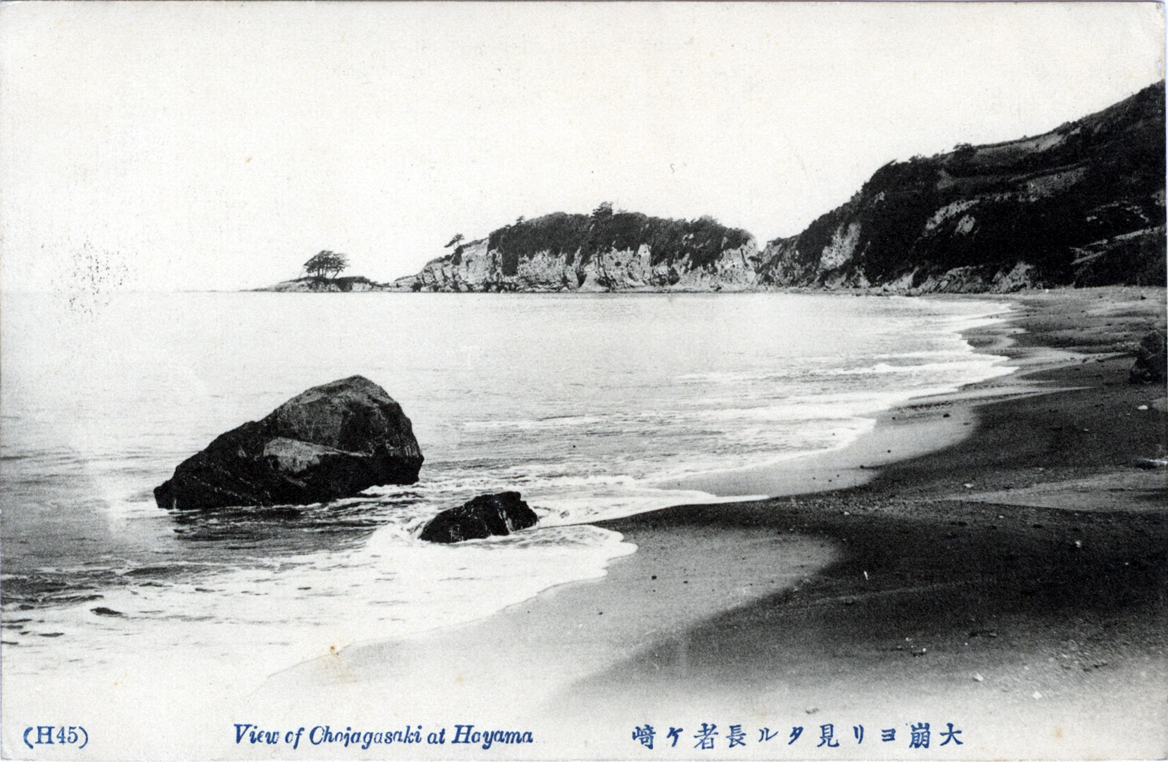
“View of Ohojagasaki at Hayama”, c. 1920.