

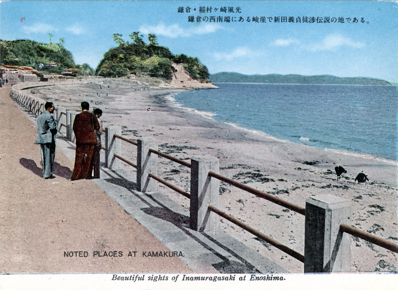
Inamuragasaki at Enoshima, c. 1960.
From the wiki: “Inamuragasaki is a cape at the western end of Yuigahama (Beach) at Kamakura. The cape divides Yuigahama from Shichirigahama (Beach) and Enoshima. Its name seems to stem from its shape, similar to a stack of rice (inamura) at harvest time.
“Because the ancient Tōkaidō highway passed along the sea south of this cape before heading to the Miura Peninsula, and before the opening of the Gokuraku Pass, Inamuragasaki was the traditional point of entry to Kamakura at the time of the Kamakura shogunate. Now crossed by a road [see postcard above], it used to be impassable by land and was therefore one of the natural defenses that made Kamakura an impregnable fortress.
“For this reason, Inamuragasaki appears often in the historical record. It is first mentioned in the Genpei Jōsuiki (a 48-book extended version of the Heike Monogatari) because the Miura clan in 1180 crossed it twice to go rescue Minamoto no Yoritomo at the battle of Ishibashiyama. The troops didn’t arrive in time, Yoritomo was defeated, and the Miura had to go back the way they had come.
“One hundred-and-ten years later, Nitta Yoshisada made Inamuragasaki immortal in Japanese history bypassing it on the evening of July 3, 1333 to invade Kamakura, bringing the Kamakura shogunate to its end. It is believed that Nitta must have taken advantage of a low tide to enter and capture Kamakura.
“Bypassing the cape on foot would be impossible today even at an extraordinarily low tide and its base is always entirely under water but, according to old texts, the sea level there was lower a thousand years ago and a narrow strip of land regularly appeared at low tide.”