

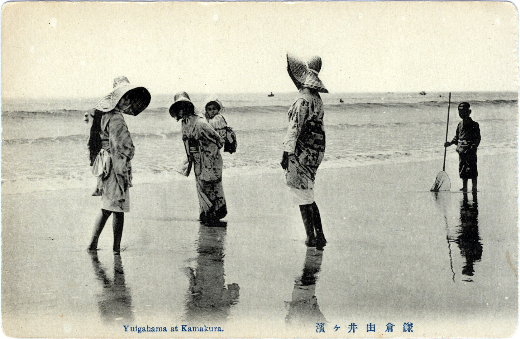
“Yuigahama at Kamakura”, c. 1920.
See also:
Enoshima, c. 1910-1950
“A walk of no more than five or six minutes through the garden brought one to the Yuigahama beach. In fact the Marquis, with the aid of binoculars, could sit on the terrace and watch the Marquise frolicking in the surf, an incidental diversion that amused him greatly.
“… The sweeping view was unobstructed and made one feel that all it encompassed – sly, land, and the sea embraced by the capes – was part of the Matsugae domain. No images obtruded on its sovereignty save those of the fantastically billowing clouds, the occasional bird, and the ships that passed by far out in the offing.
“In summer, when the cloud formations were at their peak, the whole thing seemed transformed into a huge theater, with the villa for the spectators and the smooth expanse of the bay becoming the vast stage on which the clouds performed their extravagant ballets.”
– Spring Snow: The Sea of Fertility, by Yukio Mishima, 1968
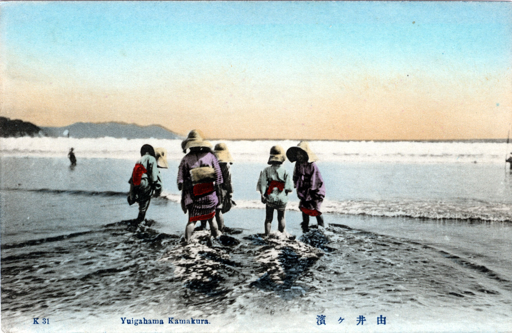
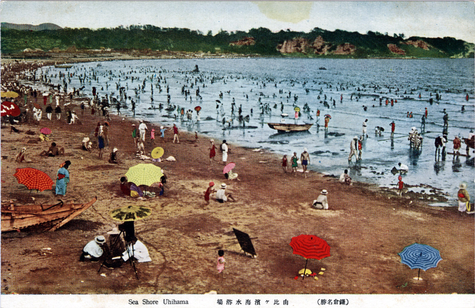
Yuigahama, Kamakura, c. 1910.
“In 1890 the railroad, which before then had not come nearer than Ofuna – the junction upon the main line four miles distant – directly linked Kamakura with the capital, this fact being naturally conducive to a new era of prosperity.
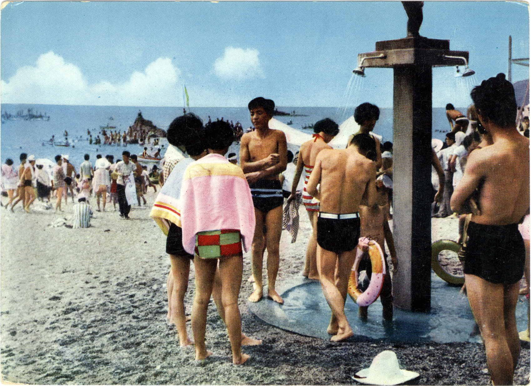
“Since that time the besso (seaside villas) of residents of Tokyo and Yokohama have increased and multiplied apace – Yuigahama gaining wide celebrity as a bathing resort and acquiring a high degree of popularity with the swarms of summer visitors, who transform the beach into a scene of liveliest animation.”
– Kamakura: Fact & Legend, by Iso Mutsu, 2012
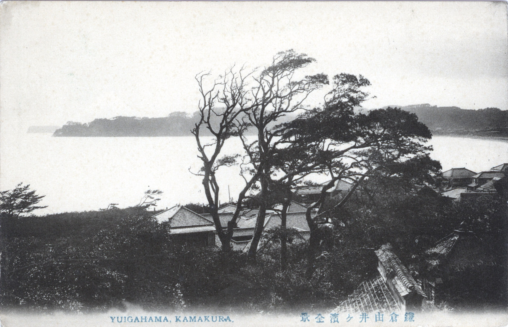
Yuigahama, Kamakura, c. 1910. Enoshima can be see at the horizon in the distance.
From the wiki: “Yuigahama is a beach near Kamakura, Japan. The beach was considered sacred ground to the Minamoto clan and, before visiting shrines in Izu or Hakone, the Shogun would always purify his body there.
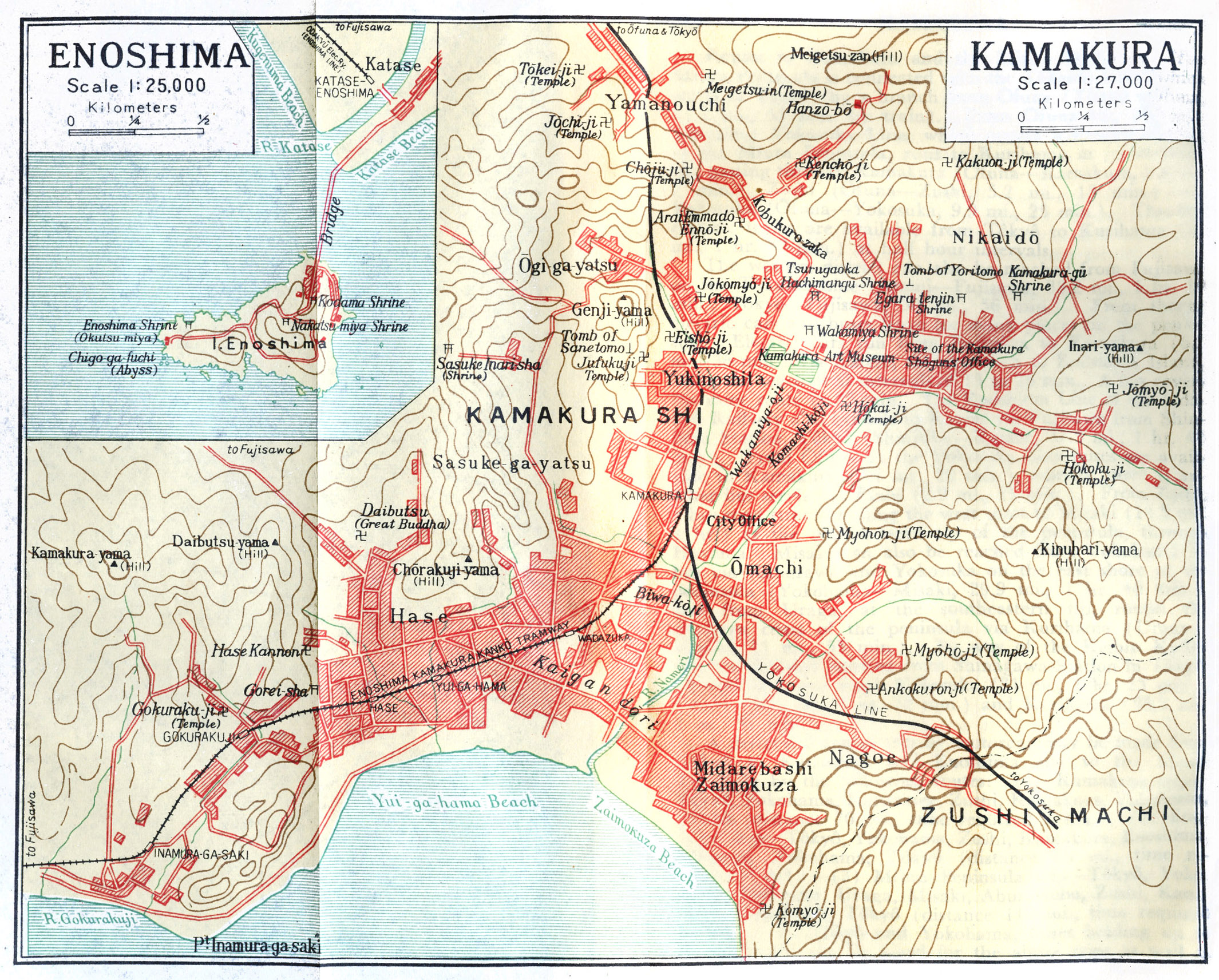
Map: Kamakura and Enoshima (inset). Yuigahama Beach forms the crescent-shaped coastline south of Kamakura city. (Source: Japan: The Official Guide, 1952.)
“During the Kamakura period both the beach and the nearby areas were called Maehama. The name appears repeatedly in the Azuma Kagami to indicate spots going from Hase to Wakamiya Oji. It was used for the practice of martial arts such as kogasagake (horseback archery) and yabusame (a horseback archery competition). It became a battlefield in 1180 at the time of the battle against Hatakeyama Shigetada, and again in 1333 for the fight between Nitta Yoshisada and the defense forces of the Hōjō. Lastly, it became a battleground in 1416 during Uesugi Zenshū’s rebellion. Human bones of the era are still occasionally found during excavations. It is on this beach that Nichiren, the founder of the Buddhist Nichiren sect, was put on a boat to be taken to Katase and executed.
Yuigahama Beach, Kamakura, c. 1930.
“It is only a short drive on Route 236 from Enoshima over to Kamakura, which is possibly the best-known seashore in the area. Kamakura is one of the largest beaches, engulfing the entire Kamakura inlet, and has a wide, sandy beach.
“Here again is ideal swimming, particularly for the beginner, as shallow water extends out several hundred yeards before gaining the depth of 10 or 12 feet. It is an especially fine beach for small children to play on.
“However, I must give you fair warning that because of its popularity, thousands of people throng to this beach at the height of the seasons, and it has often been called ‘The Coney Island of Japan’.”
– Motoring in Japan, by Bob Frew, 1955
Another popular summertime destintation: Katase Beach at Enoshima/Fujisawa, c. 1960, to the west of Yuigahama.